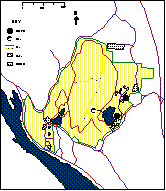
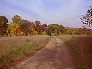
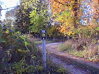
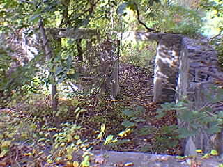
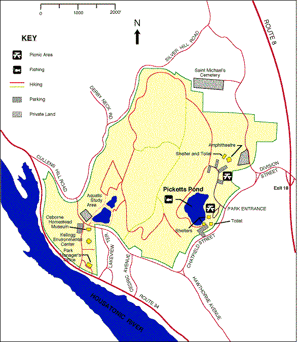
The upper area is marked by open fields, dirt roads and the reminders of earlier inhabitants and users of the park.
Click on images for a larger picture. |
The upper area is marked by open fields, dirt roads and the reminders of earlier inhabitants and users of the park.
Click on images for a larger picture. |