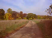
The upper area is marked by open fields, dirt roads and the reminders of
earlier inhabitants and users of the park.

This road provides access to the upper fields.
|

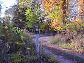
A more conventional sign marks a bend in the road.
|

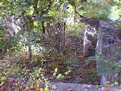
A reminder that the park was once a working farm.
|
Click on images for a larger picture.
|