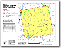
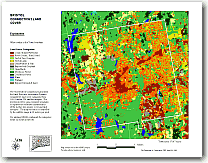
Land Use Maps of Derby & Connecticut
Nonpoint Education for Municipal Officials or NEMO is a University of Connecticut Cooperative Extension System project using innovative techniques to teach local officials about the sources and impacts of nonpoint source (NPS) pollution, how different land uses affect water quality, and what towns can do to protect water quality. The unique educational approach of the project is to use geographic information system (GIS) technology to simplify and explain the complex relationship between land use to water quality. You can view the Derby maps by searching the NEMO site. You will need the Adobe Acrobat viewer and patience while the large file displays. |